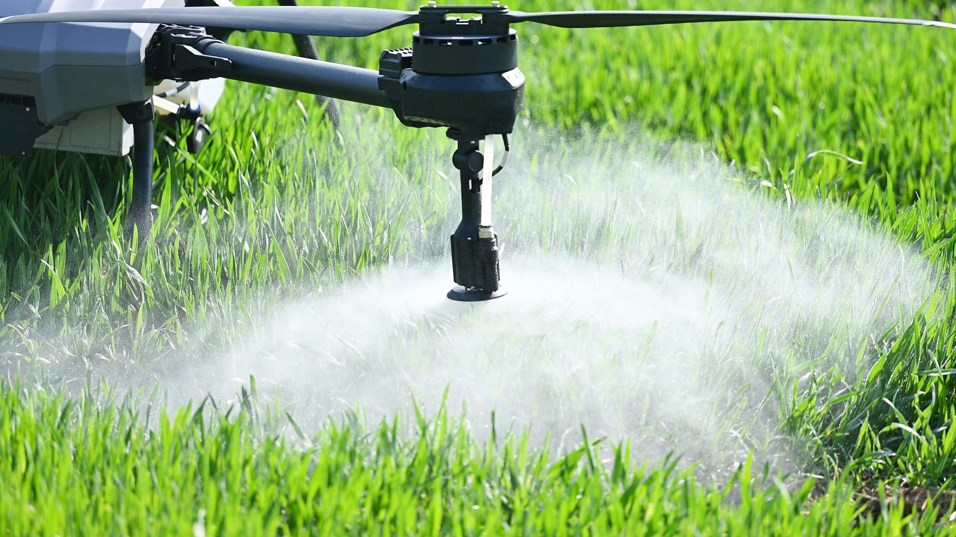
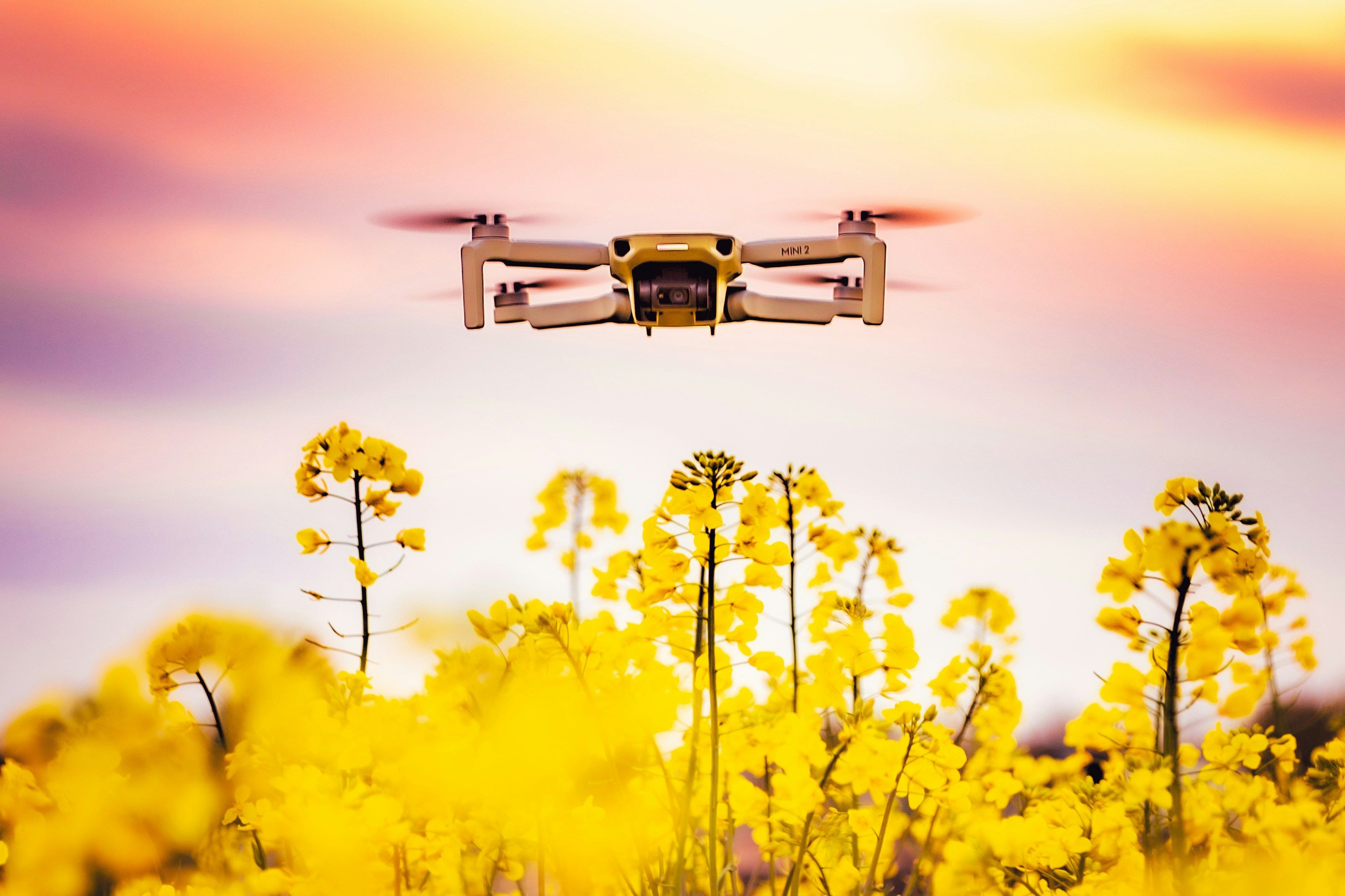
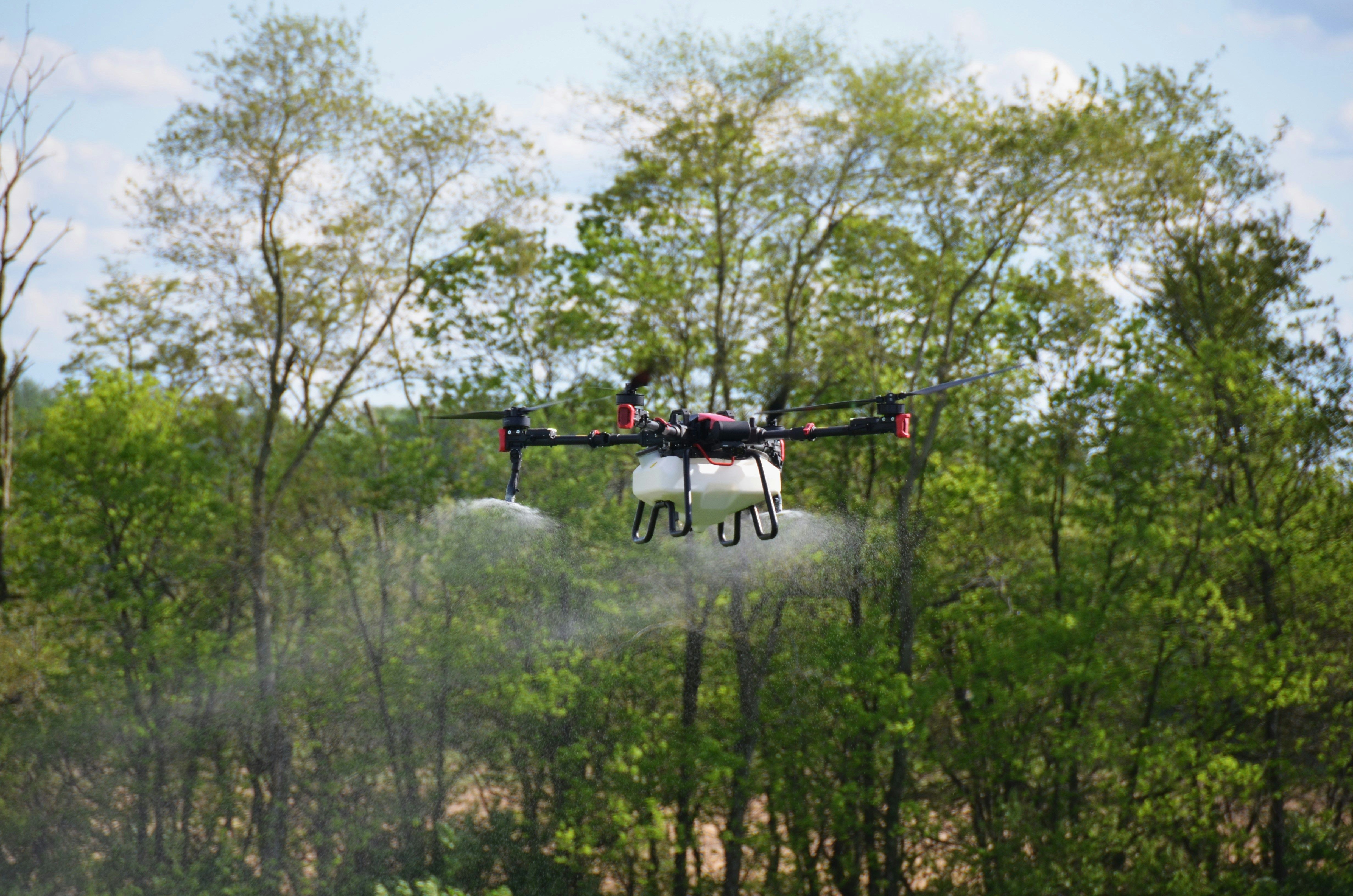
Licensed, Low-Drift Agricultural Drone Services


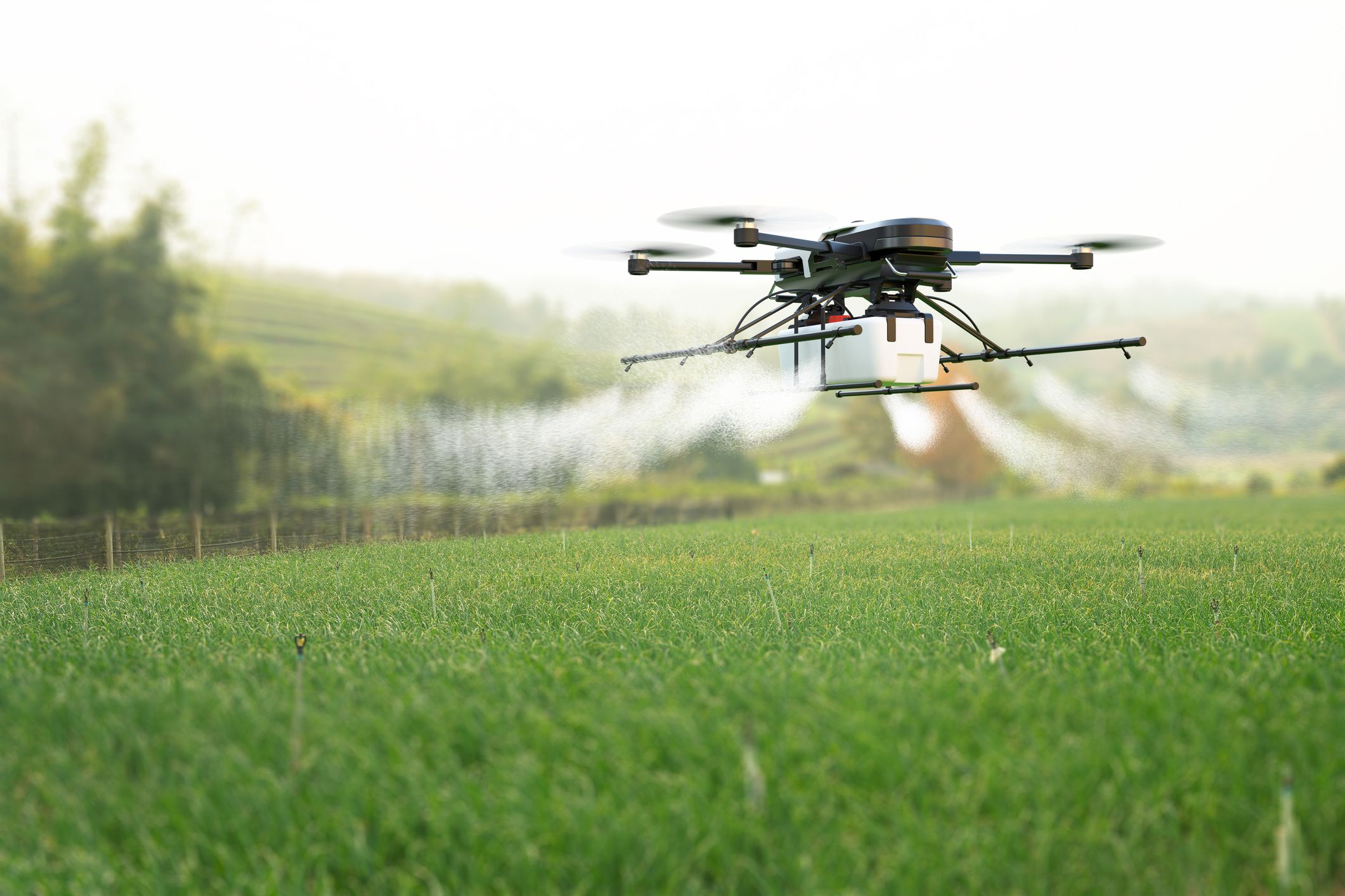
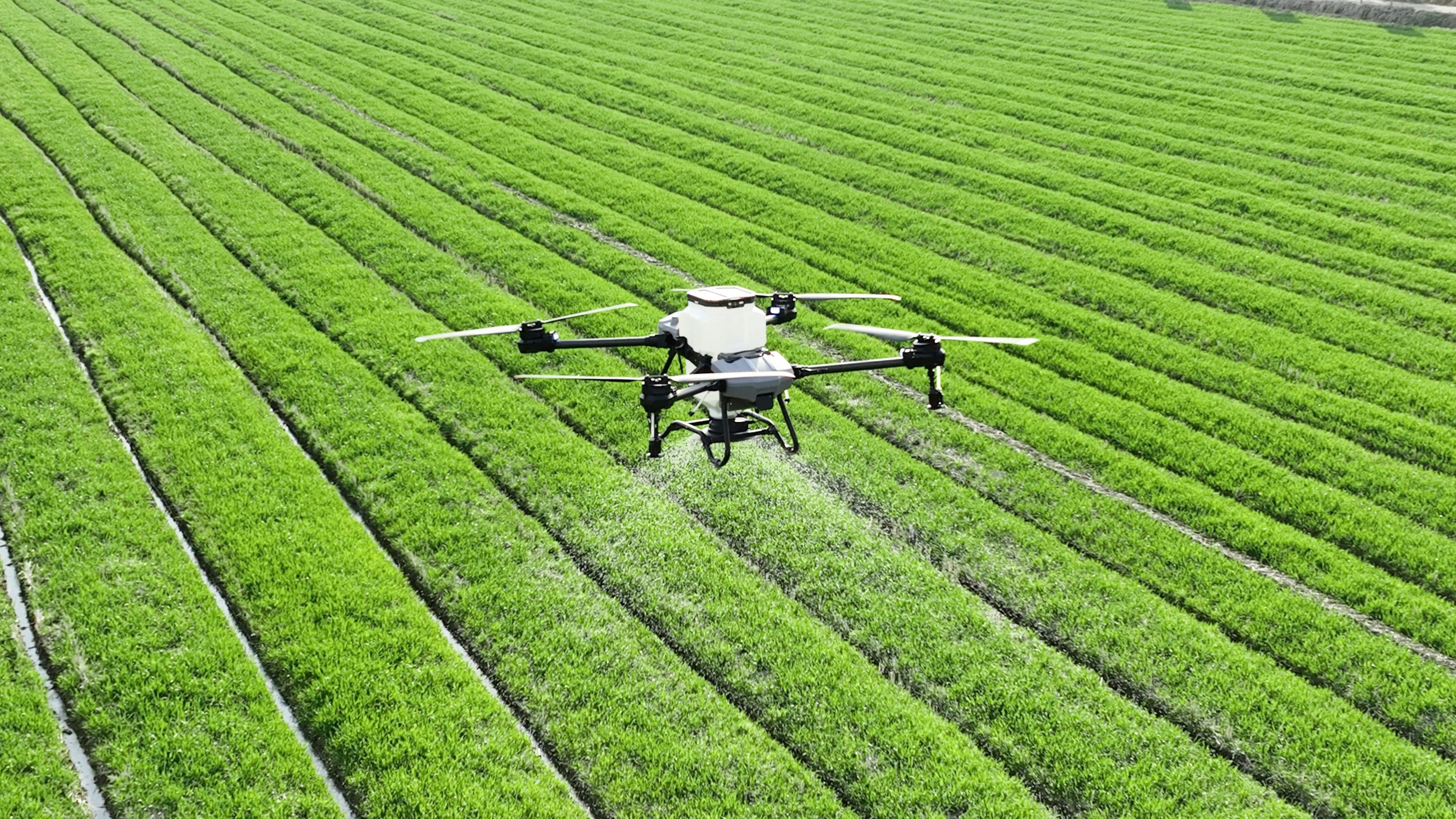
Agricultural field surveys using drones provide a reliable way to capture accurate mapping and field data without disrupting crops or soil. By collecting high-resolution aerial information, drone-based field surveys support planning, documentation, and farm management decisions with consistent, repeatable results across entire fields.
Key Benefits
Scalable for small and large farm operations
If you need accurate mapping and reliable field data to support planning and documentation, agricultural field surveys can provide the clarity you need. Share your field details and goals, and we’ll plan a survey that delivers dependable, usable results.
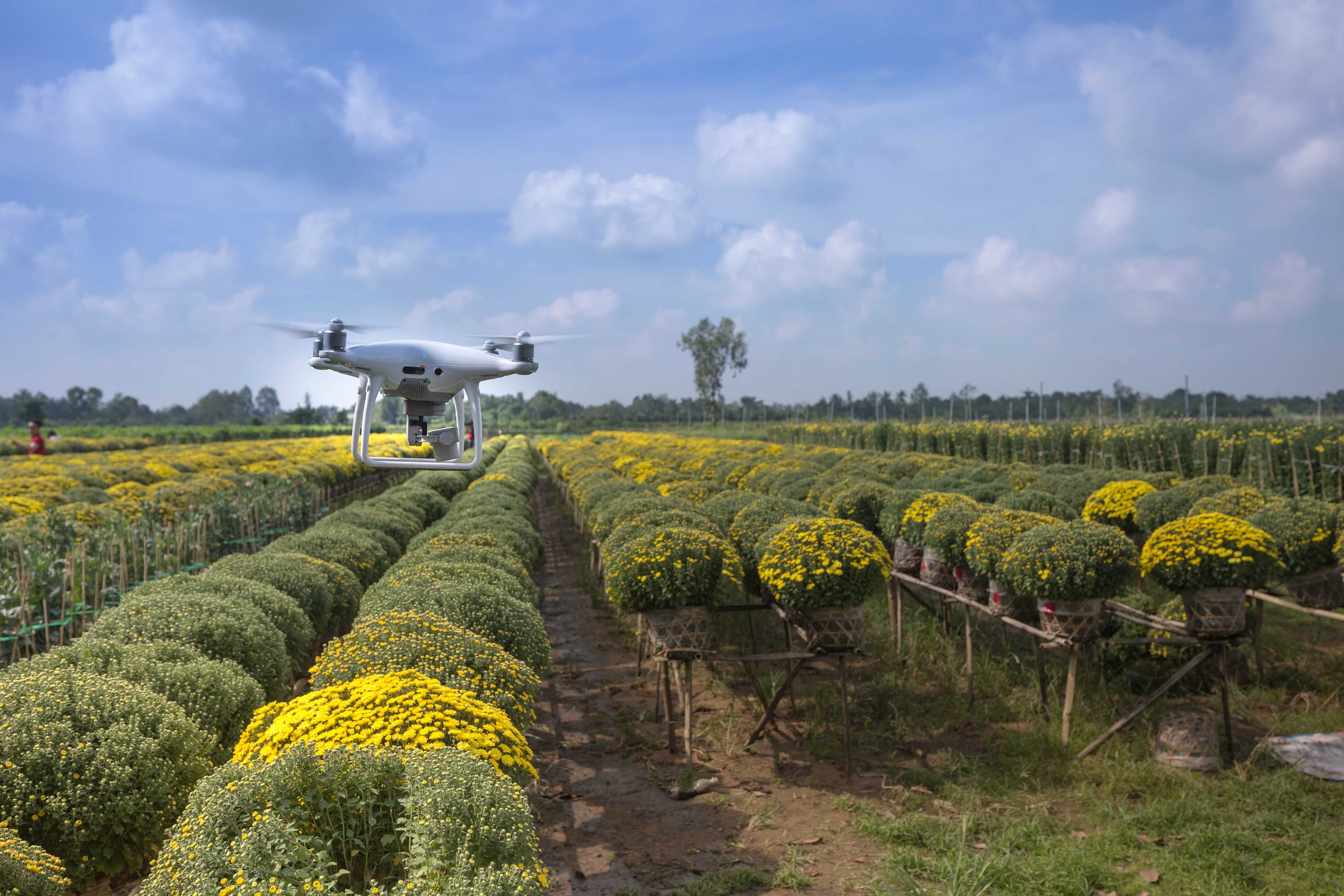
Agricultural field surveys are used to map field boundaries, measure acreage, and collect aerial data that supports planning, documentation, and farm management decisions.
Drone-based field surveys provide high accuracy through consistent aerial data capture and precise mapping methods, often exceeding manual measurement reliability.
Field surveys deliver boundary maps, acreage measurements, visual field layouts, and data that supports operational planning and recordkeeping.
Survey time depends on field size and conditions, but most drone field surveys are completed efficiently without disrupting farm operations.